نظام الملاحة بالقصور الذاتي M5700 ذو الألياف الضوئية المستخدم في المسح البحري
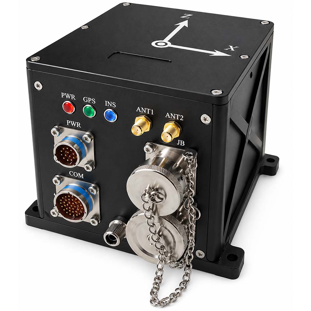
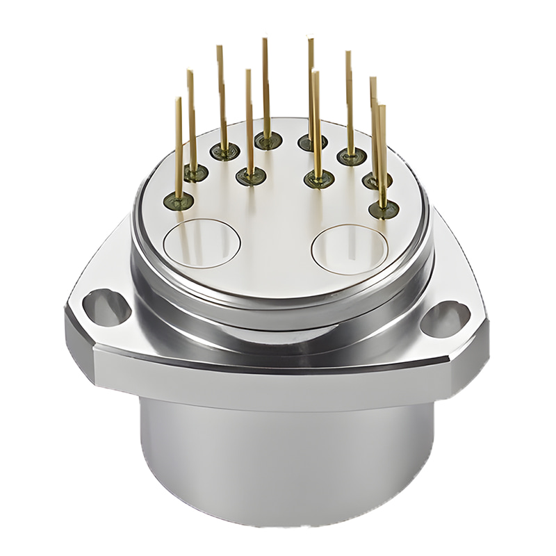
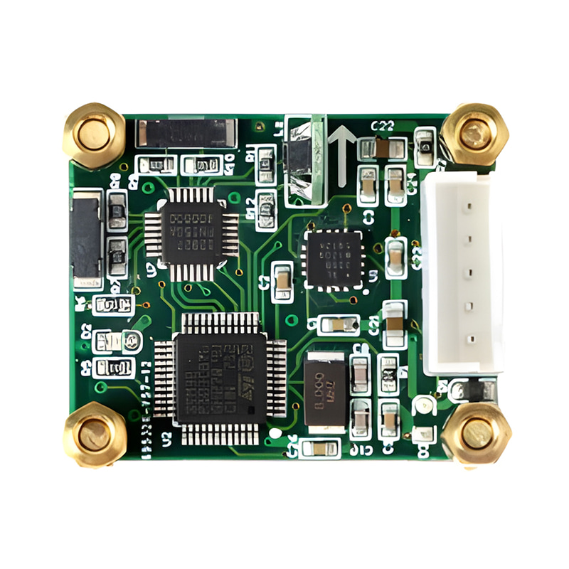
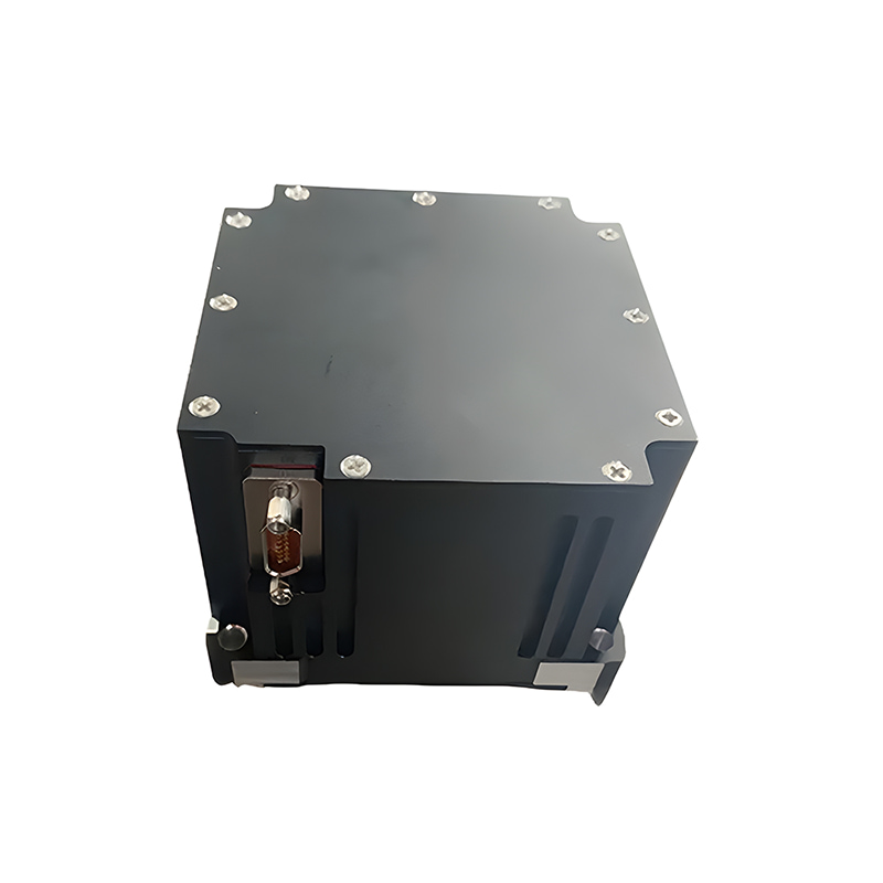
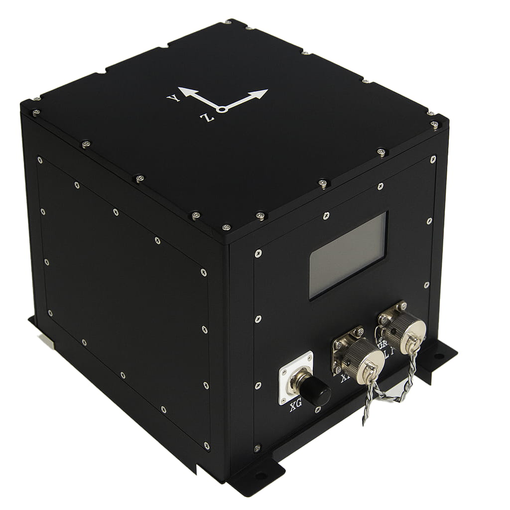
يتكون نظام الملاحة بالقصور الذاتي M5700، الذي يعمل بالألياف الضوئية، بشكل أساسي من جيروسكوب متكامل يعمل بالألياف الضوئية، ومقياس تسارع مرن من الكوارتز، ووحدة تزويد الطاقة، ووحدة الاستحواذ والحساب، ووحدة الملاحة عبر الأقمار الصناعية، وغيرها. يتميز هذا النظام بصغر حجمه وخفة وزنه ودقته العالية، وهو مناسب للطائرات بدون طيار الصغيرة والمتوسطة الحجم، والوحدات الكهروضوئية، والمركبات البحرية، وغيرها من التطبيقات. وفيما يلي أبرز ميزاته:
يتمتع بدقة عالية في تحديد الاتجاه نحو الشمال؛
القصور الذاتي البحت، مزيج القصور الذاتي/الأقمار الصناعية، مزيج القصور الذاتي/DVL، مزيج القصور الذاتي/المسافة المقطوعة، مزيج القصور الذاتي/الرؤية، البوصلة البحرية، إلخ؛
يحتوي على وظائف مثل البحث الذاتي عن الشمال، ومحاذاة الإرسال، ومحاذاة القاعدة المتحركة بمساعدة الأقمار الصناعية، والمعالجة اللاحقة عالية الدقة، وقياس الارتفاع؛
مزود بممتص صدمات مدمج، يمكنه التكيف مع بيئة الاهتزاز؛
بطاقة ذاكرة مدمجة، قادرة على تخزين بيانات القياس، والتي يمكن قراءتها عبر منفذ USB أو منفذ الشبكة؛
يتضمن بروتوكولات اتصال متعددة مدمجة، ومعدل نقل البيانات عبر المنفذ التسلسلي، ويمكن ضبط بروتوكول الإخراج.
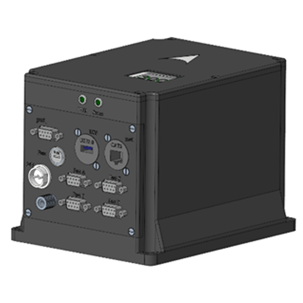
يحتوي على واجهات متعددة مثل RS422 و RS232 و Ethernet و PPS للإدخال/الإخراج وما إلى ذلك.
درجة حرارة التشغيل: -45 درجة مئوية~+60 درجة مئوية
مصدر الطاقة: 12 فولت ~ 36 فولت، استهلاك الطاقة < 15 واط
رقم القطعة، :
M5700الطلب (الحد الأدنى للكمية) :
11. مواصفات المنتج
| غرض | المعايير الفنية | |
| دقة العنوان | المحاذاة الثابتة: (1σ) "0.08°secφ" (1σ) | |
| نظام الملاحة المتكامل: 0.02 درجة (1σ) | ||
| تثبيت القصور الذاتي الخالص: 0.02 درجة/ساعة (1σ) | ||
| تثبيت الملاحة المتكامل: 0.01 درجة/ساعة (1σ) | ||
| دقة الوضع الأفقي | دقة المحاذاة: 0.005 درجة (1σ) | |
| الملاحة بالقصور الذاتي الخالص: 0.02 درجة (RMS) | ||
| نظام الملاحة المتكامل: 0.005 درجة (1σ) | ||
| دقة السرعة | 0.02 م/ث (RMS، نظام ملاحة متكامل) | |
| 1.5 م/ث (RMS، القصور الذاتي البحت خلال ساعة واحدة) | ||
| دقة تحديد الموقع | أفقي ≤ 1.5 متر، ارتفاع ≤ 2.5 متر (RMS، تحديد المواقع عبر الأقمار الصناعية بنقطة واحدة والملاحة المتكاملة، إشارة جيدة)؛ | |
| أفقي ≤ 1.5 سم + 1 جزء في المليون، ارتفاع ≤ 2.5 سم + 1 جزء في المليون (RMS، نظام ملاحة متكامل بتقنية RTK عبر الأقمار الصناعية، اتصال جيد) | ||
| 0.3% D (القصور الذاتي/المسافة المقطوعة مجتمعة في الملاحة، D هي مسافة القيادة) | ||
| 0.3% D (نظام الملاحة المتكامل بالقصور الذاتي/DVL، حيث D هي مسافة القيادة، ودقة DVL هي 0.3%) | ||
| 2 نانومتر (CEP، القصور الذاتي البحت خلال ساعة واحدة) | ||
| دقة عالية | 5 سم أو 5% من H، أيهما أكبر. | |
| وقت المحاذاة | < 5 دقائق (محاذاة القاعدة الثابتة على الأرض) | |
| < 10 دقائق (محاذاة القاعدة الهيدروستاتيكية في الماء) | ||
| < 15 دقيقة (محاذاة القاعدة المتحركة) | ||
| الجيروسكوب | نطاق القياس | 500 درجة/ثانية |
| استقرار بدون انحياز | 0.02 درجة مئوية/ساعة (متوسط 10 ثوانٍ) | |
| معامل المشي العشوائي | 0.001°/h1/2 | |
| اللاخطية في عامل المقياس | 10 جزء في المليون (1σ) | |
| تسارع | نطاق القياس | 30 غرام |
| التحيز والتكرارية الشهرية | 20 ميكروغرام (1σ) | |
| عامل المقياس، قابلية التكرار الشهرية | 20 جزء في المليون (1σ) | |
| درجة حرارة التشغيل | -45 درجة مئوية ~ 60 درجة مئوية | |
| التوافق الكهرومغناطيسي | استيفاء متطلبات GJB151B | |
| واجهة المستخدم | RS422، RS232، USB، إيثرنت، مدخلات/مخرجات PPS | |
| مزود الطاقة | 24 فولت تيار مستمر، يمكن تحويله إلى 12 فولت ~ 36 فولت | |
| استهلاك الطاقة | <15 واط | |
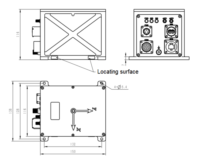
| الأبعاد الخارجية | 150×116×116 مم (باستثناء الموصلات وأذني التثبيت) | |
| وزن | 2.6 كجم | |
| بدون ميزة | وحدة تحديد المواقع عبر الأقمار الصناعية الداخلية أو الخارجية اختيارية | |
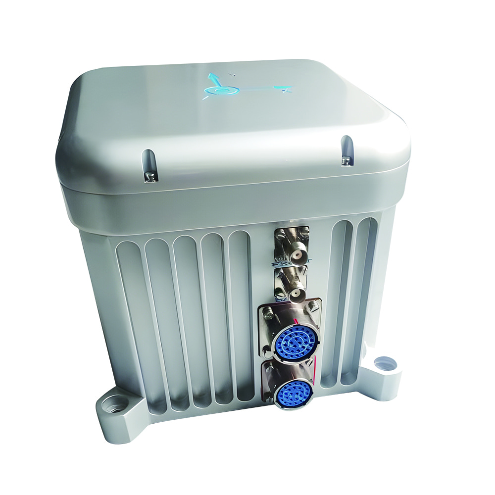
2. أبعاد المنتج

Xml سياسة الخصوصية مدونة خريطة الموقع
حقوق الطبع والنشر @ شركة مايكرو ماجيك جميع الحقوق محفوظة.
 الشبكة المدعومة


 بالعربية